|
Key Takeaways: |
|
• Uncover the best hiking experiences in Perth with our comprehensive guide to the top 10 hikes. • From coastal trails to bushland treks, each hike is carefully curated to provide unforgettable outdoor adventures. Learn about hiking essentials in Perth, including tips for preparation and safety, ensuring you're equipped for your next journey. • With detailed information on each hike's duration, difficulty level, highlights, and suitability for different preferences, our guide offers everything you need to explore Perth's stunning landscapes and natural wonders on foot. • We highly recommend Jackery Explorer 500 and 300 Plus charging electronics during your hiking trip. |
Is Perth Good for Hiking?
Perth has many hiking routes to get you outside and enjoy the natural environment, whether it's by the shore or through the bush.
Perth is the ideal place to go on foot along one of the many bush walks and bush hiking routes; options range from the urban Kings Park pathways to the breathtaking and challenging paths in the Perth Hills and Peel Region.
What to Pack for Hiking in Perth?
One of the critical components of being outdoors is thoroughly researching the hike beforehand and being prepared for it. Therefore, it is essential to ensure you are well-prepared before stepping outside your comfort zone.
Do your Google research - read online reviews of the trail and its conditions for the season, and why not join your local hiking groups on Facebook and see who has hiked it prior - they may even have photos to share with you.
To ensure you know where you're going, having a GPS is a game changer. It is a worthwhile investment for emergencies, and it will allow you to let your loved ones know your whereabouts and inform them that you are safe.
For hiking in Perth, the must-have gear is:
|
Perth Hiking Essentials |
||
|
Backpack |
Hiking Boots |
Socks |
|
Shorts |
Layers |
Hat |
|
Sunglasses |
Food |
Water |
|
GPS Navigator |
Pocket Knife |
Headlamp |
|
First Aid Kit |
Bug Spray |
Matches |
|
Multi-Tool |
Ten Essentials |
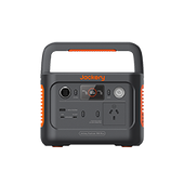
Jackery Portable Power Station |
Check the forecast. For warm and sunny days, consider how much protection your clothing will provide against the sun's ultraviolet rays while keeping you cool. Pack an extra layer or two beyond what you wear for rain and inclement weather.
And don't overlook being comfortable - this experience is all about movement, so consider what clothing helps you feel secure while stepping, stretching and climbing. Learn more about choosing hiking clothing.
For something more comprehensive, buying individual items is more expensive than buying a complete first aid kit. You also have the added benefit of a bright red case to carry everything in (and quickly locate in your pack); they often contain basic first aid instructions, and replacing used items is just a trip to a supermarket or pharmacy.
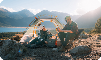
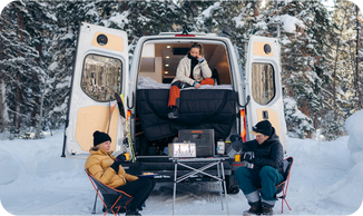
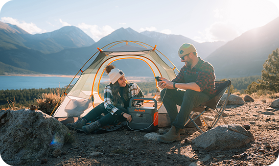
Also, electricity is far more critical for some overnight hikers; they need to connect with others by communication devices and find the path with a GPS device. Jackery Portable Power Stations can make hiking more fun and powerful since they provide enough power to charge essential electronics and devices.
Best 10 Hikes in Perth
Are you seeking the optimal hiking trails in Perth? There are over 309 picturesque roads in the Perth area, suitable for outdoor activities like hiking, biking, trail running, and exploration. Experience meticulously selected route maps, accompanied by evaluations and images from fellow nature enthusiasts such as yourself.
Discover one of the best accessible hiking trails in Perth, or find family-friendly routes for your next trip with children. Explore the trails near Perth that offer historical landmarks and outdoor adventure opportunities. These paths cater to hikers and outdoor enthusiasts of all proficiency levels.

1. Sullivan Rock to Mount Cooke, Darling Range
Location: Mount Cooke, WA 6390, Australia (Open in Google Maps)
Website: Sullivan Rock to Mount Cooke
Length: 18.4 km return
Difficulty: Hard; hiking experience is recommended
Hiking Time: 5 hours 51 min
This hike begins at Sullivan Rock, about an hour's drive from Perth along Albany Highway, and takes you to the highest hill in the Darling Range, Mount Cooke. The trail towards Mount Cooke is relatively flat and winds through creeks, sheoaks, banksia and jarrah trees.
This is an excellent way to warm up before you get to the hardest (but most rewarding) part of the hike - the climb up Mount Cooke. It's only two kilometres, but it is a steep 2km, given the 290m elevation gain.
Once you get to the top, continue past the summit to the southern side of the peak, where you'll be rewarded with the most breathtaking views. There's a campground on the northern side of Mount Cooke, so if you choose to split this hike over two days, you can dump your gear at your campsite and head up to the summit pack-free.
2. Lesmurdie Falls Walk, Perth Hills
Location: Lesmurdie WA 6076, Australia (Open in Google Maps)
Website: Lesmurdie Falls Walk, Perth Hills
Length: 2km
Difficulty: Moderate
Hiking Time: 1 hour 2 min
One of the area's most visited waterfalls is hidden amongst the hills east of Perth: Lesmurdie Falls. That may not sound enticing to some people, but it's famous for good reason. Aside from the 50-metre waterfall - which flows year-round but is spectacular after heavy rain - there are incredible wildflowers in Spring and an abundance of wildlife, not to mention the prospect of a dip in the rock pools beneath the falls under the right conditions.
There are walks at Lesmurdie Falls that range between 640 metres and 2 kilometres. This trail takes in most of the trails around the falls and affords views of the waterfall from both the head and foot of the falls.
3. Eagle View Walk Trail
Location: Forrest National Park, Darlington, WA 6070, Australia (Open in Google Maps)
Website: Eagle View Walk Trail
Length: 15km (loop)
Difficulty: Moderate
Hiking Time: 4 hours 13 min
John Forrest National Park is Perth's forest playground close to the city. There are many things to see and do there, from quick trips to keep the youngsters occupied to an entire day exploring the trails.
The 15-kilometre Eagle View Walk Trail is the gem in the crown of John Forrest National Park. It is situated on the edge of the Perth Hills and offers breathtaking views over the Swan Coastal Plain. Saunter along Jane Brook and explore waterfalls and rapids as you approach a steep ascent that will reward you with fantastic views of Perth's central business district.
From there, you go back through some gorgeous Wandoo and Jarrah woodland blooming with wildflowers from early winter to late Spring.
4. Baldwin's Bluff Trail, Serpentine National Park
Location: Serpentine WA 6125, Australia (Open in Google Maps)
Website: Baldwin's Bluff Trail, Serpentine National Park
Length: 6km (loop)
Difficulty: Moderate, hiking experience is recommended
Hiking Time: 3 hours
While Kitty's Gorge is the more well-known hike in Serpentine National Park, a lesser-known but equally as impressive one is Baldwin's Bluff.
The trail takes you along gravel tracks, climbing up to the hill's summit, where you're treated to sprawling views of Serpentine Falls and the valley beyond. Along the way, you pass through jarrah and marri woodlands, granite outcrops and - if hiking in Spring - an array of blooming wildflowers.
The summit could be more clearly marked, but you'll know once you've reached the top by the giant granite protrusions on the grounds and the sweeping views over the Perth Coastal Plans and back down the Serpentine River Valley. Remember that the Serpentine Falls area often gets quite busy and is closed to new visitors once it reaches capacity, so plan to arrive for your hike before 10 am.
5. Zamia Trail, Bold Park
Location: City Beach, WA 6015, Australia (Open in Google Maps)
Website: Zamia Trail, Bold Park
Length: 5.4km (loop)
Difficulty: Easy
Hiking Time: 1 hour 21 min
Sites with urban bushland, such as Bold Park, are excellent places to get away from the bustle of the city without going too far from home. Bold Park, near the coast in City Beach, offers a variety of trail alternatives for when you'd like to get some fresh air before or after work. The trails begin at Reabold Hill. The Zamia Trail, which encircles the park and is very lengthy, is the best of the lot, with many plants to observe and breathtaking views of the CBD and Indian Ocean.

6. Ghost House Walk Trail
Location: Ghost House Rd, Yanchep WA 6035, Australia (Open in Google Maps)
Website: Ghost House Walk Trail
Length: 14km (loop)
Difficulty: Moderate
Hiking Time: 2 hours 36 min
Situated an hour north of the city, the Ghost House Walk path is Yanchep National Park's top path and offers diverse landscapes. You begin beside Loch McNess (beware of monsters lurking about), skirt the lake's edge, and enter the wonderful coastal woodlands, which offer plenty of shade and wildflowers in the Spring.
Head past Shapcott's Campsite and towards the limestone cave system, passing the so-called Ghost House, ancient ruins allowed to be reclaimed by nature. This hike offers plenty of viewing opportunities and is home to unusual plants and animals.
7. Meelup Reserve Trail, Dunsborough
Location: Meelup Beach Rd, Dunsborough, WA 6280, Australia (Open in Google Maps)
Website: Meelup Reserve Trail, Dunsborough
Length: 7.5km
Difficulty: Easy
Hiking Time: 1 hour 29 min
If you love coastal walkways, the Meelup Reserve Trail is a must-do day walk. This trail has several sections, but the best day hike is between Dunsborough and Eagle Bay. It's a distance of around 7.5 kilometres one way and consistently garners 5-star reviews online.
It takes part in the beautiful Leeuwin-Naturaliste National Park, with an almost endless vista of pristine beaches and inlets along Geographe Bay. There are small bay communities such as Meelup Bay along the way to break the walk up.
This is one of those great walks where you can experience wildlife (kangaroos, seals and dolphins) and swim at beaches with white sand and crystal-clear water.
It's an easy walk along a well-maintained trail between Dunsborough and Meelup Beach. A section towards Eagle Bay is slightly more rugged due to the trail taking walkers up a hill. However, the views from the top towards the ocean are worth the effort.
8. Burswood Loop Trail
Location: 118 Bellingham Parade, Wellard WA 6170, Australia (Open in Google Maps)
Website: Burswood Loop Trail
Length: 6.2km (loop)
Difficulty: Easy
Hiking Time: 1 hour 10 min
You can see East Perth, particularly Claisebrook Cove, by hiking the Burswood Loop walk around the banks of the stunning Swan River. We suggest stopping by Toast or The Royal for a refreshment. But Heirisson Island is unquestionably the trail's high point.
If you're lucky, you can see some western grey kangaroos when travelling through Herisson Island under the Causeway. These animals are located in the southern enclosure of the island and are best seen in the early morning or late evening.
9. Bells Rapids River Walk Trail, Swan Valley
Location: Orlov Trail, Cathedral Ave, Brigadoon, WA 6069 (Open in Google Maps)
Website: Bells Rapids River Walk Trail, Swan Valley
Length: 2.75km (loop)
Difficulty: Moderate
Hiking Time: 2 hours 21 min
Given that Bells Rapids is one of the most incredible places to see the Avon Descent, you have undoubtedly heard of it before. This 2.75-kilometre loop combines the more accessible Goat Walk with the more challenging Bells Rapids River Walk. After following the river, the trail climbs the hill, passing through more rocky and steep stretches. And look out for the Boulder with the Buttocks!
Options, options... you can cross the bridge and head left for the easy 2.5-kilometre return to Bells Rapids River Walk, or you could turn right and follow the Goat Walk over the hill until it meets the River Walk and returns to the bridge and picnic area.
There's a picnic area and a public toilet, and it is dog-friendly. The best time to visit is July to November to catch the best water flow and beautiful wildflowers. Prepare your picnic basket and invite your family to join you for an immersive experience in nature. You may observe a kangaroo, surprisingly.
10. Yaberoo Budjara Heritage Trail, Yanchep National Park
Location: Burns Beach Rd, Joondalup WA 6027, Australia (Open in Google Maps)
Website: Yaberoo Budjara Heritage Trail, Yanchep National Park
Length: 28km (one way)
Difficulty: Hard
Hiking Time: 6 hours 46 min
This historic trail is not for the faint-hearted, stretching 28km from Lake Joondalup and ending in Yanchep, winding through Neerabup National Park. The Yaberoo Budjara Heritage Trail is a significant Indigenous site as it was once an Aboriginal migration route and was later used as a stock route by European settlers.
Owing to the length of the trail, it can be separated into five sections. As it's not a loop trail, you should plan for a car shuffle or complete a smaller section and make the return.
Kicking off at Neil Hawkin's Park on the western side of Lake Joondalup, it winds through bushland of peppermint trees and zamia palms to Burns Beach Road, then veers into Neerabup National Park via the old quarry road. Make sure you go to the top of the ridge, which provides excellent views of Waukolup Hill and the Indian Ocean.
Jackery Portable Power Stations for Hiking
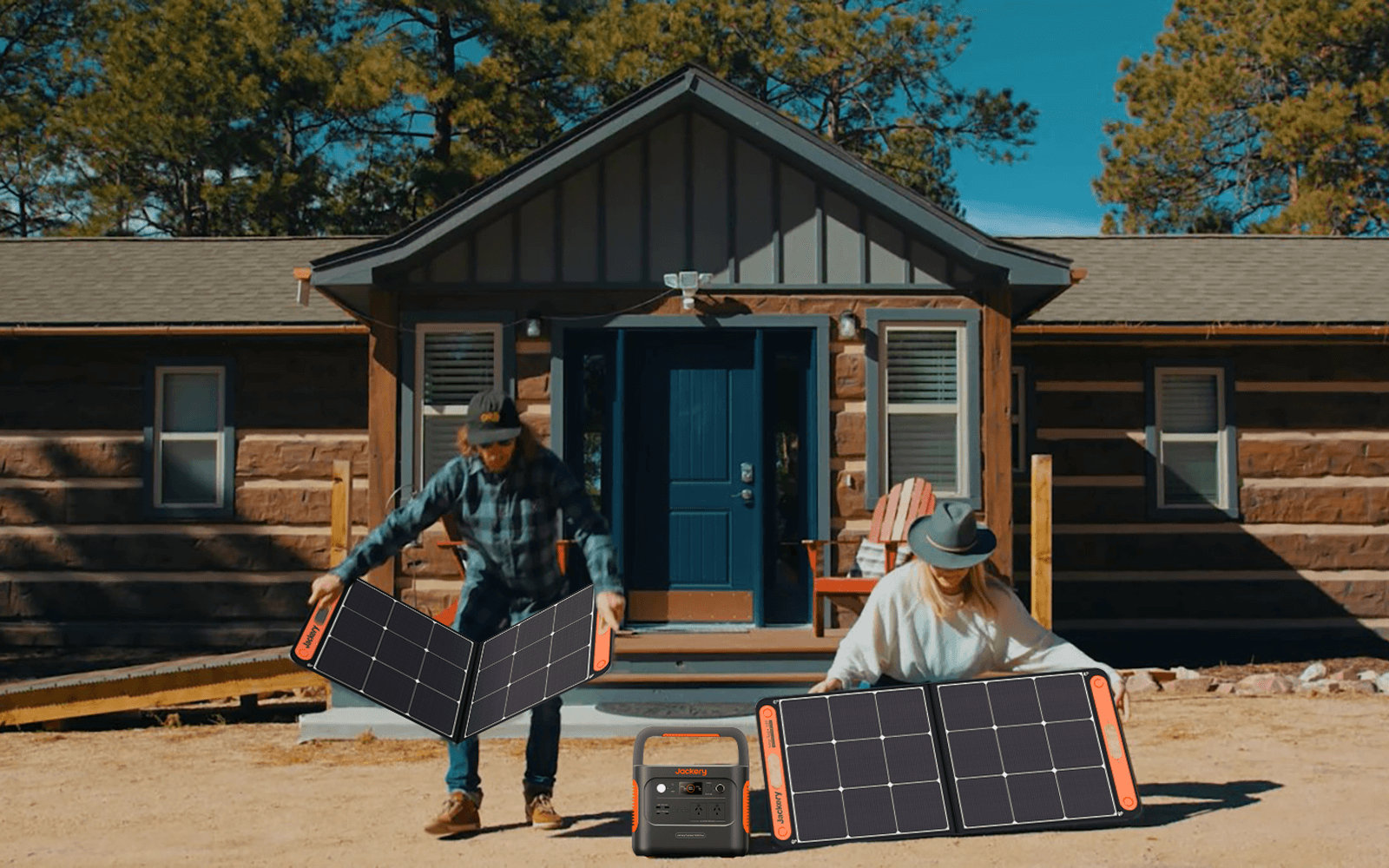
Take your Perth hiking adventures to the next level with Jackery Portable Power Stations. Jackery Portable Power Stations are made for people who like being outside and care about the environment and their comfort. They give your tools a safe way to get power while on the go.

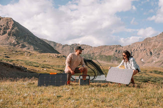
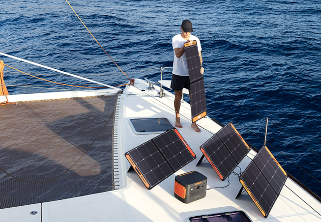
Jackery ensures that their Portable Power Stations use lithium-ion and LiFePO4 batteries for a steady power source. These generators can use the sun's energy now that Jackery Solar Panels are added. This makes them an eco-friendly power source for Sydney's beautiful scenery.
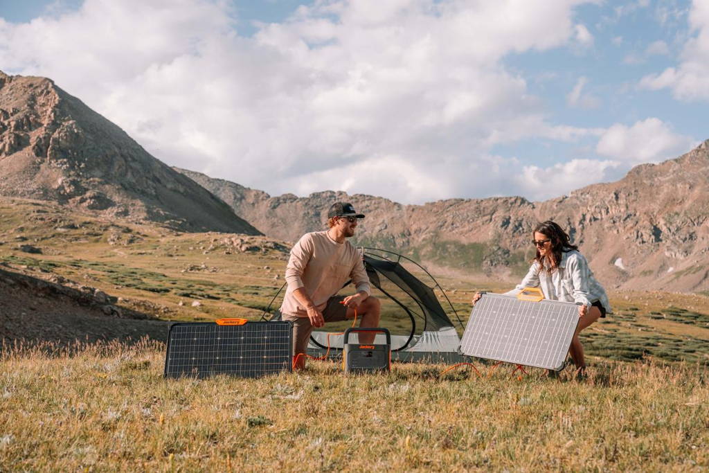
We recommend Jackery Explorer 500 and 300 Plus for hiking trips since they are compact, portable, and powerful. By taking them, you should never worry about losing electricity.
|
Product |
Jackery Explorer 500 |
Jackery Explorer 300 Plus |
|
Capacity |
518Wh (21.6V/24Ah) |
288Wh (12.8V/22.5Ah) |
|
Life Cycle |
800 cycles to 80%+ capacity |
3000 cycles to 80%+ capacity |
|
Battery Cell |
NMC battery |
LiFePO4 battery |
|
Dimension |
24.2x19.3x30cm |
16.7x15.5x23cm |
|
Recharging Methods |
Explorer 500 + SolarSaga 100W: 9.5H; AC Adapter: 7.5H; 12V Car Adapter: 7.5H |
Explorer 300 Plus + SolarSaga 80W: 6.3H; AC Adapter: 2H; 12V Car Adapter: 5.5H |
|
Output Ports |
1*AC Output: 240V, 500W (peak 1000W); 1*DC Output: 12V⎓7A; 3*USB-A: 5V⎓2.4A; 1*Carport: 12V⎓10A |
1*AC Output: 230V, 50Hz, 300W Rated, 600W Surge Peak; 2*USB-C: 100W Max, 5V⎓3A (5V, 9V, 15V, 12V, 20V up to 5A); 1*Carport: 12V⎓10A |
Jackery Explorer 500
This Jackery Explorer 500 power station is made to withstand harsh weather thanks to its advanced temperature monitors and robust construction that can work in hot and cold conditions. Because it's so durable, it's an excellent choice for hiking, camping trips, outdoor activities, and backup power in an emergency.
With a capacity of 518Wh and a 500W inverter that can handle surges up to 1000W, the Jackery Explorer 500 can support multiple appliance charging, making it a versatile power solution for various needs. It is also designed for convenience, featuring a portable and light design that makes it easy to carry and use wherever power is needed.
The power station has three ways to charge it: solar panels, a wall outlet, and a car plug. This gives you options for how to charge it. With a noise level of 37.9dB, it's a quiet power option that won't bother you while camping or hiking in Perth.

Jackery Explorer 300 Plus
The Jackery Explorer 300 Plus portable power station is a lightweight and efficient power supply designed to meet the power needs for various situations such as hiking, kayaking, picnicking, camping, road trips, and emergency power backup.
This power station has a unique Battery Management System (BMS). It has 52 safety features and 12 BMS algorithms that work together to keep the device and any attached appliances as safe as possible. It also has four kinds of physical security to ensure everyone is safe.
This model stands out because it has an intelligent app control feature that lets users quickly manage the battery through Wi-Fi or Bluetooth. This makes it more modern and convenient to use. It's also very light - only 8.27 pounds - so it's an excellent choice for people who are always on the go.

Tips for Hiking in Perth
If you want to get out into nature, there are a lot of beautiful trails that are only about an hour's drive from the city centre of Perth. Read these tips to enjoy nature and exercise while hiking in Perth.
- Start your hike early.
If you decide to hike on Summer days in Perth, it comes with stifling heat, bushfires, snakes and many more flies. You would think Summer would curtail your hiking activities, but it opens you up to new adventures and opportunities. So it would help if you headed out during the most incredible times of the day.
- Bushwalking trail tips by Explore Parks WA.
Explore Parks WA states you must carry a personal location beacon (PLB) to be rescued. They also recommend hiking in groups of 2-3 people for safety.
- Share your location.
Another tip for iPhone users is to share your location with someone you trust. You can do this by going into your messages, selecting "Share location," and turning it off when finished.
- Guide yourself or be guided by others.
This is an entirely personal choice. Hiking with more experienced hikers, be it with friends, meet-up groups or clubs, will provide a safety net and help you learn until you are ready to branch out independently. Sometimes, you want to hike 'now' or aren't into groups, so going with a partner or alone may be preferred.
Whatever you choose, let people know when and where you are going and when you will return. Just as importantly, let them know you have returned!
Hiking in Perth FAQs
The following are the frequently asked questions about hiking in Perth:
- What is the most difficult hike in WA?
One of the most difficult hikes in Western Australia is the Stirling Ridge Walk in the Stirling Range National Park. This challenging trek traverses the rugged and remote Stirling Range, offering stunning panoramic views of the surrounding peaks and valleys.
The trail involves steep ascents, exposed ridges, and rough terrain, requiring hikers to be physically fit, experienced, and well-prepared for the demands of the hike. The Stirling Ridge Walk is a multi-day adventure that tests endurance and navigation skills, making it suitable only for experienced hikers seeking a rugged wilderness experience.
- What is the longest hike in Perth?
One of the most extended hikes in Perth is the Bibbulmun Track, stretching over 1,000 kilometres (620 miles) from Kalamunda in the Perth Hills to Albany on the south coast. This iconic trail offers a range of experiences, from day hikes to multi-day treks through diverse landscapes.
- How long is the Lesmurdie Falls walk?
The Lesmurdie Falls walk is approximately 2.5 kilometres (1.5 miles) return, with an estimated walking time of 1 to 1.5 hours. This scenic trail in the Perth Hills offers beautiful views of the waterfall and surrounding bushland.
- Where can I walk in Perth Hills?
Numerous walking trails in Perth Hills can accommodate varying interests and levels of fitness. The Bickley Reservoir Loop Trail in Mundy Regional Park, the Kitty's Gorge Trail in Serpentine National Park, and the Eagle View Trail in John Forrest National Park are a few well-liked paths. These pathways offer outdoor exploration and recreation opportunities while showcasing the Perth Hills region's natural beauty.
Final Thoughts
Perth is ideal for exploring on foot along several bush hikes and hiking paths. Explore the distinctive plant and animal life, such as vibrant wildflowers throughout Spring. Witness breathtaking landscapes that encompass waterfalls, rivers, islands, and wetlands. From this guide, you will find 10 of the best picnic spots in Perth. Also, remember to take a Jackery Portable Power Station to your hiking trip, especially long and overnight hiking, to charge your essentials conveniently.

