|
Key Takeaways: |
|
• Melbourne is suitable for hiking because of its access to different trails, mid-hike relaxation, and in-town activities. • This guide lists an essential checklist for hiking in Melbourne, including necessities and emergency gear. • Top 10 hiking spots are also listed. You can make your choice based on its difficulty level. • We highly recommend Jackery Explorer 500 and 300 Plus charging electronics during your hiking trip. • We give you some hiking tips to keep you safe while enjoying nature. |
Is Melbourne Good for Hiking?
A long hiking journey is best started in Melbourne, Victoria. It sets itself apart from other popular outdoor destinations in Australia because of its beautiful trails, revitalized areas for relaxation, and an abundance of city-based activities to make the most of a vacation before or after an adventure.
We'll go into more detail about these ideas below, covering Melbourne's hiking possibilities and what makes the city a great place to visit.
Possession of Multiple Trails
The Melbourne area has some of Victoria's best overnight trekking routes. We'll quickly recap some of the fantastic overnight treks in the Melbourne area that Trail Hiking has already written about Wilsons Promontory (Eastern Circuit) and Beeripmo Walk.
Wilsons Promontory (Eastern Circuit) is roughly 225 kilometres away from Melbourne. It takes two to three days to do this breathtaking 36.5km excursion. It is regarded as one of the best treks in the state and passes through gorgeous beaches.
Availability Of In-Town Events In Between Treks
Melbourne is a great place to start a long hiking vacation because there are lots of exciting and enjoyable things to do in the days between or after your walks. Melbourne is the global sports capital, with many contests, an action-packed schedule, and a lively fan population participating in cheering, flag-waving, and gambling.
What To Pack for Hiking in Melbourne?
Knowing what you want to hike is necessary to choose what equipment to bring. Begin by considering what kind of hike you're going on (time, distance, climbing, technical difficulty) and the conditions you expect (climate, season, weather).
Awareness of the nature of your hike and the weather conditions will help you decide on the gear and clothes to pack.

Your hiking equipment list should include items that help with route navigation and minor repairs for an easy day hike. Trekking poles are handy for long excursions on rocky terrain. They provide additional balance and reduce knee discomfort.
The following are the must-have hiking gear:
|
Melbourne Hiking Essentials |
||
|
Backpack |
Hiking Boots |
Socks |
|
Shorts |
Layers |
Hat |
|
Sunglasses |
Food |
Water |
|
GPS Navigator |
Pocket Knife |
Headlamp |
|
First Aid Kit |
Bug Spray |
Matches |
|
Multi-Tool |
Ten Essentials |
Jackery Portable Power Station |
A place to keep everything is necessary. A comfortable backpack and everything else you'll need for trekking are vital. The backpack doesn't have to be significant; a day hike may fit in a 25-pack.
Your comfort and range of motion on the trail may be significantly enhanced by dressing appropriately and carrying the right shoes. Lightweight, sweat-wicking pants offer comfort and flexibility. They are a must-have item for men's trekking clothing.
Ensure you have everything you need before beginning. Day permits are required for many of the places you wish to hike. Always plan your itinerary and research as much online or by reading guidebooks. Depending on what you are used to using, you could take:
- Your cellphone with a GPS application and remember to download the maps before you leave so you can access them offline
- A topographic map
- A GPS watch with an altimeter and barometer
- An altimeter and compass (less familiar now with the widespread usage of watches and mobile phones)
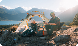
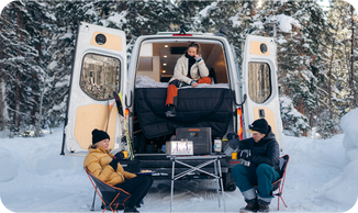
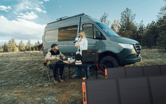
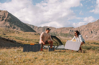
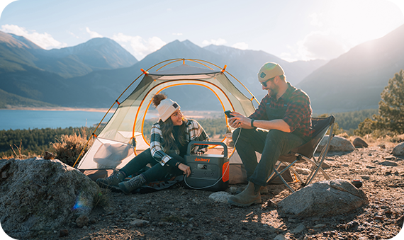
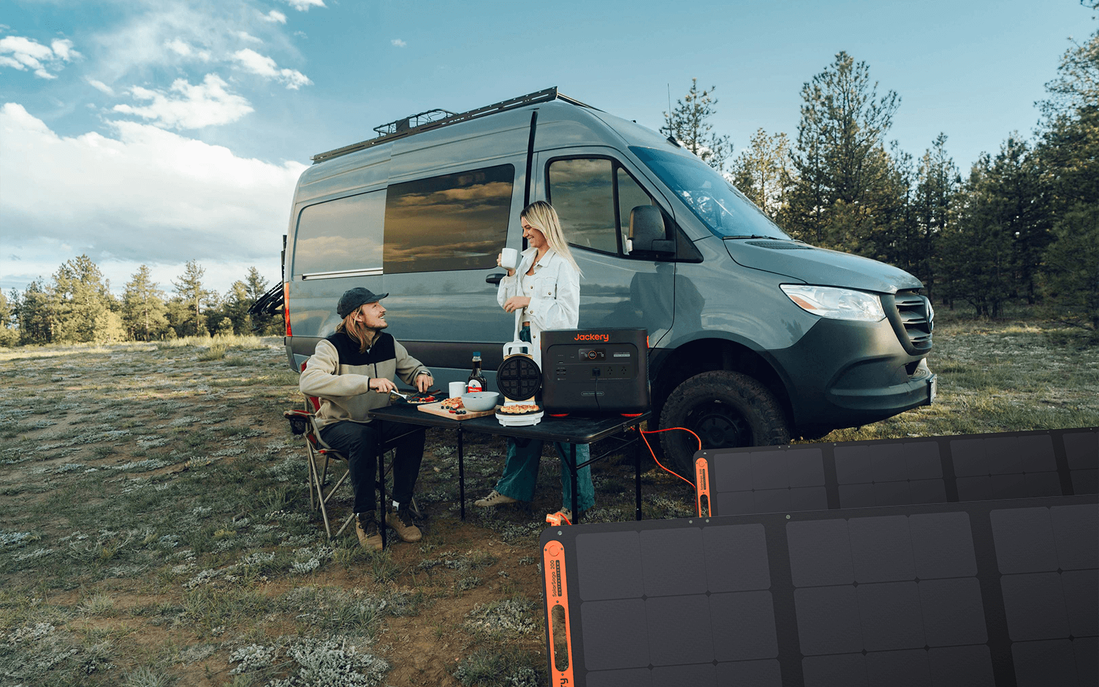
As for some overnight hikers, electricity is far more critical when sleeping outdoors. Jackery Portable Power Stations can make hiking more comfortable and convenient by providing enough power to charge essential electronics.
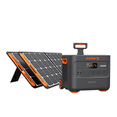
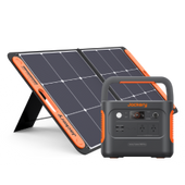
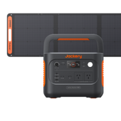
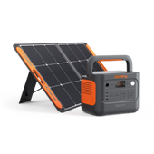
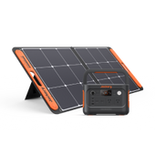
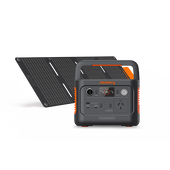
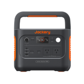
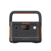
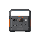
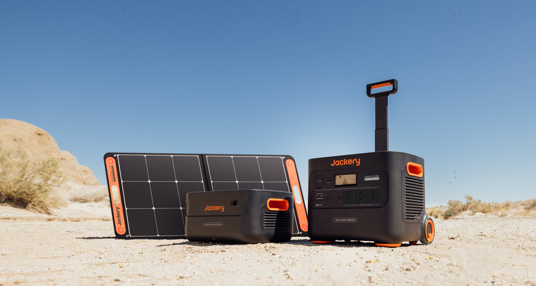
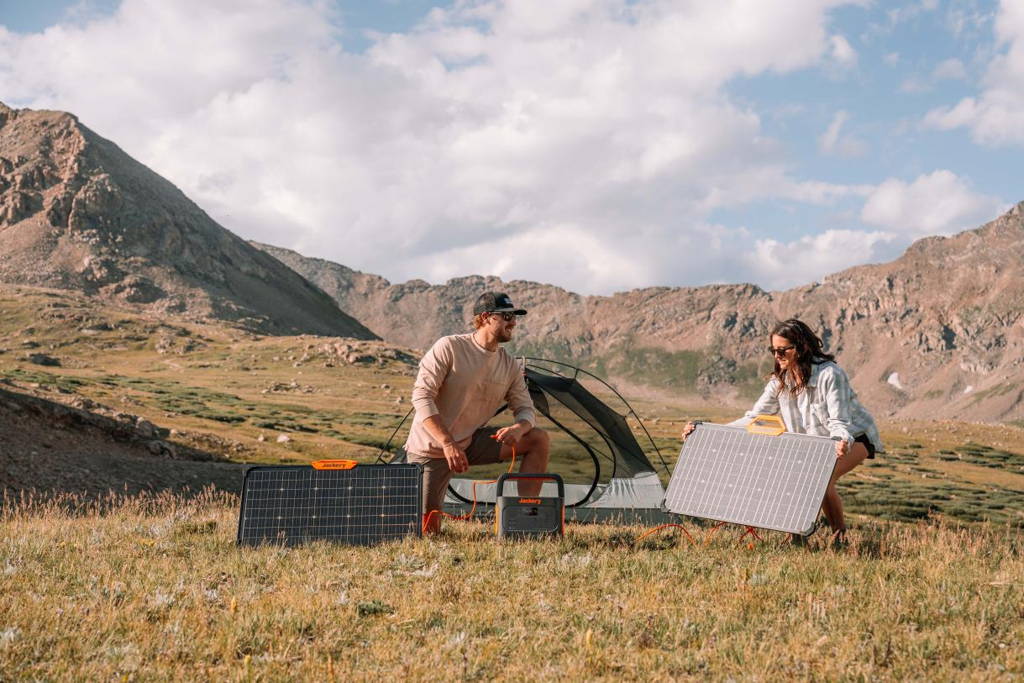
Bring a small power station like the Jackery Explorer 500 or Explorer 300 Plus to charge your electronics (GPS devices, communication tools, and personal electronics) on your hiking trip. They are only the size of a book or a ball, so you can easily take them everywhere.
Best 10 Hikes in Melbourne
Melbourne is lucky to have a temperate climate despite its disorderly ways. There are four distinct climates; extreme weather is uncommon. Depending on your activities and interests, Melbourne may be enjoyed year-round.
Melbourne experiences pleasant summers from December to February. It still rains in the summer, but not in massive amounts. Melbourne might see a heat wave that lasts for two or three days.
A hiking tour is a great way to see everything Melbourne offers. Here are the best ten hikes in Melbourne that you will love.

1. Flinders Peak Walk, You Yangs Regional Park
Location: Little River VIC 3211, Australia (Open in Google Maps)
Website: Flinders Peak Walk
Length: 3.2km
Difficulty: Moderate to hard
Hiking Time: 1 hour 15 min
Bring your dog with you! Halfway between Melbourne and Geelong is a dog-friendly park called You Yangs National Park. The perfect trip to do (with your dog) is the 3.2-kilometer Flinders Peak trek, which leads to the summit of the You Yangs.
It will make you puff, with over 450 stairs and a 200-meter elevation rise, but you'll feel like a real champion when you reach the peak. The stroll starts and finishes at the Turntable Drive parking lot.
2. Bushrangers Bay Walking Trak, Mornington Peninsula National Park
Location: Cape Schanck VIC 3939, Australia (Open in Google Maps)
Website: Bushrangers Bay Walking Trak
Length: 2.7km
Difficulty: Easy to moderate
Hiking Time: 40 min each way
There are two ways to get to the beautiful Bushrangers Bay from this path. The bay has a sandy beach and basalt cliffs all around it. It was named after two prisoners who fled. The dark, foreboding headlands and the rough waves that often crash onto the sharp rocks that guard the entrance to the bay make this peaceful spot stand out.
Take in the breathtaking views of Bass Strait from this trek on the beach clifftop. After leaving the Cape Schanck parking area, continue your journey through the Banksia forest, neighbouring farms, and sandstone outcrops. It goes through green meadows where you can spot whales, chatty birds, and occasionally even a kangaroo. Swim in the waves at the trail's eponymous beach to cool off.
3. Keppel Lookout Trail, Steavenson Falls
Location: Oxlee Climb, Marysville VIC 3779, Australia (Open in Google Maps)
Website: Keppel Lookout Trail
Length: 11km
Difficulty: Moderate to hard
Hiking Time: 3-4 hours
Starting from the parking area near Steavenson Falls, you can begin your trek by viewing one of the state's tallest (and most striking) waterfalls. After the De La Rue overlook, you'll climb on a rough dirt trail and follow the signs to the Keppel overlook. Bring lots of water, food, and supportive footwear because the terrain and several hills can be slippery after rain.
At the halfway point of the hike is the Keppel Lookout, which provides views of the Cathedral Ranges on a clear day. After that, begin your descent towards Falls Road. You could even include a walk through the fern gully if you're up for it.
4. Werribee Gorge Circuit Walk, Werribee Gorge
Location: 204 Myers Rd, Pentland Hills VIC 3341, Australia (Open in Google Maps)
Website: Werribee Gorge
Length: 10km
Difficulty: Moderate to hard
Hiking Time: 4 hours 30 min
Werribee Gorge State Park has one easy hike trail for the whole family. This trip includes the hiking trifecta: spectacular views, rock scrambling, and, depending on the season, a swimming hole for post-hike refreshments. From the Meikles Point picnic area and parking lot, the walk follows the river and climbs over a rocky crest. To witness the park's most magnificent natural assets, visit the Eastern Lookout at the gorge's brink.
5. Organ Pipes Circuit, Organ Pipes National Park
Location: Organ Pipes Rd, Keilor North VIC 3036, Australia (Open in Google Maps)
Website: Organ Pipes National Park
Length: 1.5km
Difficulty: Easy to moderate
Hiking Time: 1 hour 15 min
To what extent is nature strange? The breathtaking Organ Pipes National Park is off the Calder Motorway, 20 kilometres north of Melbourne. Basalt columns that are remarkably similar to organ pipes and date back 2.5 million years are the park's principal feature, giving it its name. The park spans 121 hectares.
Have a quick stroll through the park while you're there. Starting at the visitor centre, you can pass the park's main draws, including Keilor Plains, the Tessellated Pavement, and the Organ Pipes.

6. Eastern Sherbrooke Forest Walk, Dandenong Ranges National Park
Location: School Rd, Tremont VIC 3786, Australia (Open in Google Maps)
Website: Dandenong Ranges National Park
Length: 7.1km
Difficulty: Moderate
Hiking Time: 2-3 hours
Is the Eastern Sherbrooke Forest Walk's 1,000 Steps Completed? Much of the same ferny flora may be seen on this Sherbrooke Forest excursion, minus the hordes of workout fanatics. Go beyond the Grants Picnic Ground bird-feeding enclosure and follow the first section of the path, signed "Lyrebird Walk." Continue on the occasionally steep path, making right turns at each bend to take in the stunning scenery and the occasional kookaburra.
7. Lergergerg Circuit Walk, Lerderderg State Park
Location: Lerderderg Gorge Rd, Bacchus Marsh VIC 3340, Australia (Open in Google Maps)
Website: Lerderderg State Park
Length: 13.5km
Difficulty: Moderate to hard
Hiking Time: 3.5-4.5 hours
Bush, it's me. Lerderderg is an actual forest in the Victorian era. In addition to its remarkable fauna and vegetation, Lerderderg is renowned for its 300-meter-deep canyon, which has carved its way through the park's sandstone and slate.
The Mackenzies Flat picnic spot is the starting point for this trip, which mainly follows the river's natural path. Expect plenty of rock climbing, a few gold mining relics, and maybe even some river crossing, depending on the conditions.
8. Neds Gully Track, Cathedral Range State Park
Location: Taggerty VIC 3714, Australia (Open in Google Maps)
Website: Neds Gully Track
Length: 2.2km (one way)
Difficulty: Moderate to hard
Hiking Time: 1 hour
This steady hike goes uphill through wet forested gullies and drier forests on the higher hills. Along the way, walkers can enjoy a range of habitats and lots of animals. The Neds Gully Camping Area is the start of this 2.2 km, one-hour hike that winds steeply up through Neds Gully to Neds Saddle.
Neds Gully Track is an ideal place to start, but the Cathedral Ranges provide many fantastic trekking opportunities. Neds Saddle and Neds Gully are reached after a steady ascent. At 840 meters, Cathedral Mountain is the park's highest mountain, reached by a steep left turn on the trail. It's recommended that you have some prior bushwalking experience for this one.
9. Fingal Beach Walk, Mornington Peninsula National Park
Location: Cape Schanck Rd, Cape Schanck VIC 3939, Australia (Open in Google Maps)
Website: Mornington Peninsula National Park
Length: 10km (to Gunnamatta), 5km (to Fingal Beach)
Difficulty: Easy to moderate
Hiking Time: 1.5-3 hours
This tour offers excellent views from the clifftop and a private beach for play, making it ideal for people who love to get a lot of walking value. Start at Fingal Picnic Area, 2km north of Cape Schanck, then meander through the scrub woods.
Please make the most of viewing spots; they offer breathtaking views across the tip of the Mornington Peninsula and a chance to catch your breath. Walk down a very long (and we mean long) set of stairs, and you will probably have Fingal Beach all to yourself.
If it's low tide, you can walk an extra two kilometres down the beach to Gunnamatta Beach, where a circle route will take you back to the starting point. If not, you'll have to climb all those stairs again. The advantage of this method is that it does not involve stairs. The fact that it is twice as long is one disadvantage.
10. Burchell Trail, Brisbane Ranges National Park
Location: Steiglitz VIC 3331, Australia (Open in Google Maps)
Website: Burchell Trail
Length: 40km
Difficulty: Hard
Hiking Time: 3 days
Spend three days walking through Victoria's wildflower-rich area, with stunning views of Wadawurrung Country, and see plant groups only found in the Brisbane Ranges.
The Burchell Trail is a 40 km, three-day point-to-point walk at Fridays Campground in the south of the park or Boar Gully Campground in the north. It follows orange markers on current paths, management tracks, and public roads.
Along the path, there are two places to camp. From Fridays Campground, walking north to Old Mill Hike-in Campground takes one day. From Boar Gully, walking south to Little River Hike-in Campground takes one day.
|
South to North, Begin at Board Gully |
North to South, Begin at Board Gully |
|
• Day 1: Fridays to Old Mill - 11.5km • Day 2: Old Mill to Little River - 13.5km • Day 3: Little River to Boar Gully - 10km |
• Day 1: Boar Gully to Little River - 10km • Day 2: Little River to Old Mill - 13.5km • Day 3: Old Mill to Fridays - 11.5km |
Jackery Portable Power Stations for Hiking
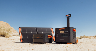
Take your Melbourne hiking adventures to the next level with Jackery Portable Power Stations. Jackery Portable Power Stations are made for people who like being outside and care about the environment and their comfort. They give your tools a safe way to get power while on the go.

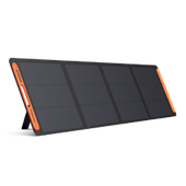
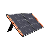
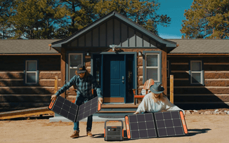
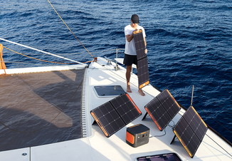
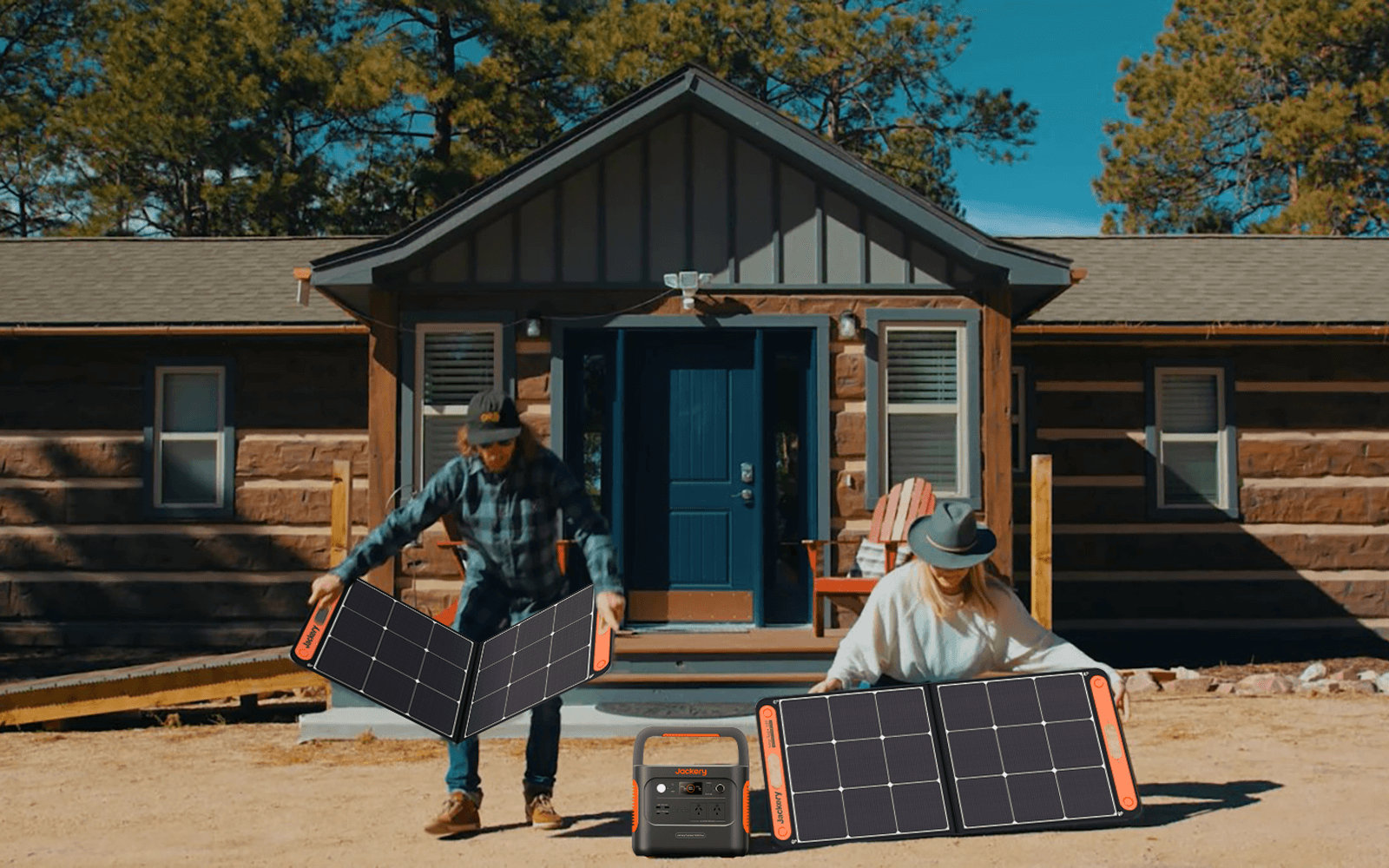
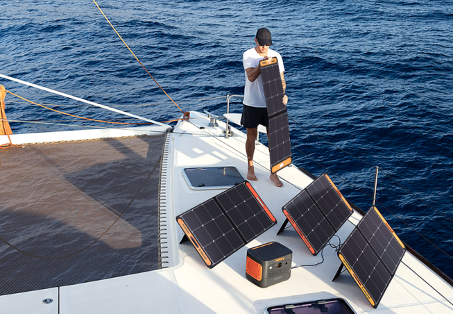
Jackery ensures that their Portable Power Stations use lithium-ion and LiFePO4 batteries for a steady power source. These generators can use the sun's energy now that Jackery Solar Panels are added. This makes them an eco-friendly power source for Melbourne's beautiful scenery.
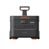
We recommend Jackery Explorer 500 and 300 Plus for hiking trips since they are compact, portable, and powerful. By taking them, you should never worry about losing electricity.
|
Product |
Jackery Explorer 500 |
Jackery Explorer 300 Plus |
|
Capacity |
518Wh (21.6V/24Ah) |
288Wh (12.8V/22.5Ah) |
|
Life Cycle |
800 cycles to 80%+ capacity |
3000 cycles to 80%+ capacity |
|
Battery Cell |
NMC battery |
LiFePO4 battery |
|
Dimension |
24.2x19.3x30cm |
16.7x15.5x23cm |
|
Recharging Methods |
Explorer 500 + SolarSaga 100W: 9.5H; AC Adapter: 7.5H; 12V Car Adapter: 7.5H |
Explorer 300 Plus + SolarSaga 80W: 6.3H; AC Adapter: 2H; 12V Car Adapter: 5.5H |
|
Output Ports |
1*AC Output: 240V, 500W (peak 1000W); 1*DC Output: 12V⎓7A; 3*USB-A: 5V⎓2.4A; 1*Carport: 12V⎓10A |
1*AC Output: 230V, 50Hz, 300W Rated, 600W Surge Peak; 2*USB-C: 100W Max, 5V⎓3A (5V, 9V, 15V, 12V, 20V up to 5A); 1*Carport: 12V⎓10A |
Jackery Explorer 500
This Jackery Explorer 500 power station is made to withstand harsh weather thanks to its advanced temperature monitors and robust construction that can work in hot and cold conditions. Because it's so durable, it's an excellent choice for hiking, camping trips, outdoor activities, and backup power in an emergency.
With a capacity of 518Wh and a 500W inverter that can handle surges up to 1000W, the Jackery Explorer 500 can support multiple appliance charging, making it a versatile power solution for various needs. It is also designed for convenience, featuring a portable and light design that makes it easy to carry and use wherever power is needed.
The power station has three ways to charge it: solar panels, a wall outlet, and a car plug. This gives you options for how to charge it. With a noise level of 37.9dB, it's a quiet power option that won't bother you while camping or hiking in Melbourne.

Jackery Explorer 300 Plus
The Jackery Explorer 300 Plus portable power station is a lightweight and efficient power supply designed to meet the power needs for various situations such as hiking, kayaking, picnicking, camping, road trips, and emergency power backup.
This power station has a unique Battery Management System (BMS). It has 52 safety features and 12 BMS algorithms that work together to keep the device and any attached appliances as safe as possible. It also has four kinds of physical security to ensure everyone is safe.
This model stands out because it has an intelligent app control feature that lets users quickly manage the battery through Wi-Fi or Bluetooth. This makes it more modern and convenient to use. It's also very light - only 8.27 pounds - so it's an excellent choice for people who are always on the go.

Tips for Hiking in Melbourne
There are many lovely walking trails throughout Victoria and the surrounding Melbourne neighbourhoods, just waiting to be discovered, whether you want to travel to the beach, explore winding rural back roads, or go camping.
While you might be eager to spend time in nature, you might also be slightly anxious. There are a few basic rules to follow to ensure you get the most out of your hiking in Melbourne:
Follow The Trail
Although being spontaneous is fine, it's not always easy to determine which option is best for you. Search the internet before you set out on the trek. Many also specify whether a route is easy, moderate, or difficult. You could even find out how long the trip usually takes, get directions, find parking, etc.
For example, The Cathedral Range State Park is 115 kilometres away from Melbourne and takes two hours. Travelling the Maroondah Highway, passing through the Yarra Valley, and ascending the Black Spur is a fantastic experience.
The Cathedral Lane turn-off is 10 km farther down the route on the right after passing through Buxton. Turning onto Little River Road from Cathedral Lane, the official park entry is on the right. The state park's gravel road is in fair shape and appropriate for most cars.
Consider Your Fitness Level
If you've never hiked before, it could be wise to begin cautiously. If you want a good day, choose a route you can handle and allow yourself enough time to become used to more challenging tracks. Remember to consider your friends and family members' degrees of fitness.
Take Caution
Keep your cell phone with you, but don't rely on it in the bush, as reception may be sporadic at best. You can dial 112 to reach emergency services in Australia even if your phone is not in your telecom carrier's service range. However, this will only work if your phone is in the service range of another operator.
Hiking in Melbourne FAQs
The following are the frequently asked questions about hiking in Melbourne:
- Is Melbourne easy to walk around?
Melbourne is a pedestrian haven with its level topography, lush parks and gardens, riverbanks, and bayside views. See the best of the city by taking a stroll around it.
- Is Melbourne a walking city?
Melbourne has been ranked among the top 20 walkable cities globally, according to a global survey that examined the finest cities for leading a car-free lifestyle (i.e., easily commutable without a car).
- Is Melbourne friendlier than Sydney?
A survey found that people in Melbourne are friendlier than people in Sydney. That way, as you go about, you won't feel like a tourist. The city's diverse population offers an eclectic lifestyle unlike any other Australian city.
- Is Melbourne flat or hilly?
Greater Melbourne comprises about 9900 km² of suburbs around a central city. The suburbs extend over vast, level basalt plains to the west, 40 km to the south, 30 km to the east, and 20 km to the north.
Final Thoughts
Hiking in Melbourne is excellent! It benefits your body and mind and lets you enjoy the stunning surroundings and clean air. Regardless of your expertise level, a well-thought-out packing list for a hiking excursion is your best friend on any adventure. Also, remember that you should pack out anything you bring because this is true of any outdoor adventure. Have fun, follow the Leave No Trace principle, and be mindful of the local wildlife.

